
Il DII vi aspetta alle Logge dei Banchi a partire dalle 16 con le ricerche di frontiera in robotica e bioingegneria. Inoltre, in Largo Ciro Menotti talk sulle tecnologie di frontiera per la salute. ...
Leggi tutto

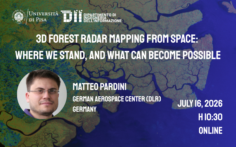
Webinar - 3D Forest Radar Mapping from Space: Where We Stand, and What Can Become Possible
16 Luglio 2026
313
16 luglio h 10:30 ONLINE
link webinar
https://teams.microsoft.com/meet/316135767672222?p=uaDW2Gn3pibgDlHWM5
Abstract
Synthetic Aperture Radar (SAR) imaging systems are key Earth remote sensing systems able to provide unique information products for a wide spectrum of applications. In particular, the fast development of SAR technology and techniques allows nowadays the implementation and operation of a new generation of spaceborne SAR configurations able to provide 3D interferometric and tomographic mapping capabilities over natural scenes with high spatial and temporal resolution globally.
This seminar provides an overview of the current status and the potentials of applications of SAR 3D measurements on forest environments. The discussion will be supported by experimental results obtained at the Microwave and Radar Institute of the German Aerospace Center (DLR) in the frame of airborne campaigns over specific sites, and with DLR’s TanDEM-X spaceborne data at continental scales. First impressions and outlooks are provided also based on data from the recently launched ESA’s BIOMASS satellite mission, which will enable mapping forest height, biomass, structure and their changes at planetary scales.
Bio
Matteo Pardini received the Ms.Eng. degree in Telecommunication engineering and the Ph.D. degree in Information engineering from the University of Pisa, Pisa, Italy, in 2006 and 2010, respectively. In 2010, he joined the Information Retrieval group in the Radar Concepts Department, Microwaves and Radar Institute, Deutsches Zentrum fur Luft- und Raumfahrt (DLR, German Aerospace Center) in Oberpfaffenhofen, Weßling, Germany, as a Research Scientist, after a visiting research period in 2009. In 2017, he was a Visiting Scientist with the Department of Geographical Sciences, University of Maryland, College Park, MD, USA.
His research interests include synthetic aperture radar (SAR) tomographic and polarimetric interferometric processing for 3-D bio/geophysical information extraction over natural volumes (forest, agriculture, and ice), SAR mission design, and SAR mission performance analysis. He is member of DLR’s TanDEM-X science team, and of the Data Innovation and Science Cluster (DISC) of ESA’s BIOMASS mission. He was awarded with the IEEE GRSS J-STARS Paper Award in 2019, and the DLR Science Award in 2020.
per info fabrizio.lombardini@unipi.it

Dipartimento di Ingegneria dell'Informazione
Via G. Caruso 16 - 56122 - Pisa
Tel +39 050 2217511 - info@dii.unipi.it
PEC: ing.informazione@pec.unipi.it
Info Didattica: didattica@dii.unipi.it
P.I. 00286820501 - C.F. 80003670504