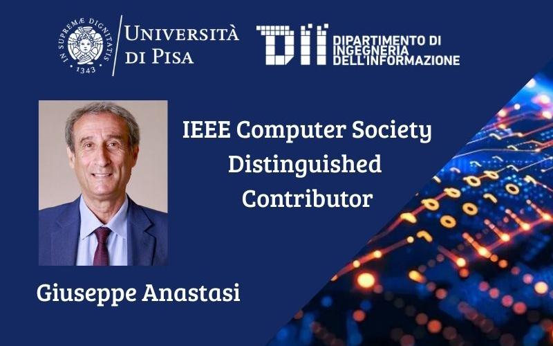
La nomina a Distinguished Contributor (DC) premia i membri e gli affiliati della Computer Society che hanno apportato contributi tecnici significativi e continuativi alla IEEE Computer Society, alla...
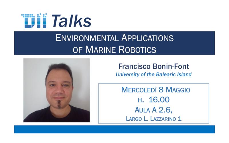
Leggi tutto[DII Talks] Environmental Applications of Marine Robotics

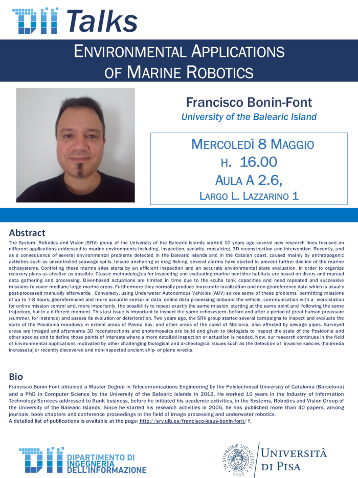
Francisco Bonin-Font
University of the Balearic Island
Aula A2.6 Scuola di Ingegneria, Largo Lucio Lazzarino 1 Pisa
Abstract
The System, Robotics and Vision (SRV) group of the University of the Balearic Islands started 10 years ago several new research lines focused on different applications addressed to marine environments including, inspection, security, mosaicing, 3D reconstruction and intervention. Recently, and as a consequence of several environmental problems detected in the Balearic Islands and in the Catalan coast, caused mainly by anthropogenic activities such as uncontrolled seawage spills, leisure anchoring or drag fishing, several alarms have started to prevent further decline of the marine echosystems. Controling these marine sites starts by an efficient inspection and an accurate environmental state evaluation, in order to organize recovery plans as efective as possible. Classic methodologies for inspecting and evaluating marine benthinc habitats are based on divers and manual data gathering and processing. Diver-based actuations are limited in time due to the scuba tank capacities and need repeated and successive missions to cover medium/large marine areas. Furthermore they normally produce inaccurate localization and non-georeference data which is usually post-processed manually afterwards. Conversely, using Underwater Autonomous Vehicles (AUV) solves some of these problems, permitting missions of up to 7-8 hours, georeferenced and more accurate sensorial data, online data processing onboard the vehicle, communication with a work-station for online mission control and, more importanly, the possibility to repeat exactly the same mission, starting at the same point and following the same trajectory, but in a different moment. This last issue is important to inspect the same echosystem, before and after a period of great human preassure (summer, for instance) and assess its evolution or deterioration. Two years ago, the SRV group started several campaigns to inspect and evaluate the state of the Posidonia meadows in extend areas of Palma bay, and other areas of the coast of Mallorca, also affected by sewage pipes. Surveyed areas are imaged and afterwards 3D reconstructions and photomosaics are build and given to biologists to inspect the state of the Posidonia and other species and to define those points of interests where a more detailed inspection or actuation is needed. Now, our research continues in the field of Environmental applications motivated by other challenging biological and archeological issues such as the detection of invasive species (halimeda incrassata) or recently discovered and non-inspected ancient ship- or plane wrecks.
Bio
Francisco Bonin Font obtained a Master Degree in Telecomunications Engineering by the Polytechnical University of Catalonia (Barcelona) and a PhD in Computer Science by the University of the Balearic Islands in 2012. He worked 10 years in the Industry of Information Technology Services addressed to Bank business, before he initiated his academic activities, in the Systems, Robotics and Vision Group of the University of the Balearic Islands. Since he started his research activities in 2005, he has published more than 40 papers, among journals, book chapters and conference proceedings in the field of image processing and underwater robotics. A detailed list of publications is available at the page: http://srv.uib.es/francisco-jesus-bonin-font/ f.


